Calculates cast shadows over a matrix or SpatRaster digital elevation model (DEM) for a given illumination direction.
Arguments
- dem
matrix or SpatRaster. Digital elevation model representing terrain elevation on a regular grid.
- SZA
SpatRaster or numeric. Solar zenith angle in degrees.
- SAA
SpatRaster or numeric. Solar azimuth angle in degrees.
- dl
numeric. Grid spacing. Not needed if
demis SpatRaster.- sombra
Returned matrix or SpatRaster.
Value
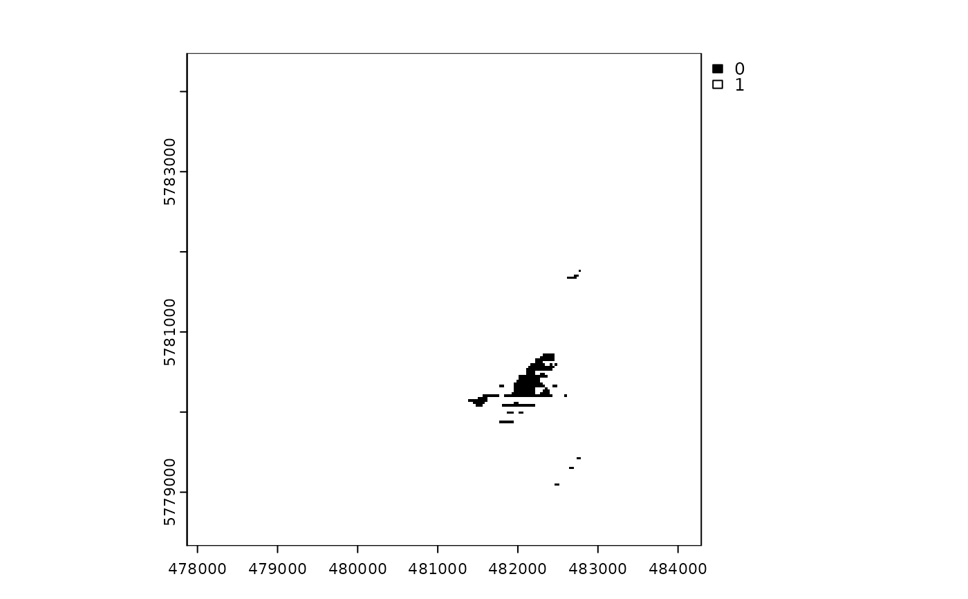
Returns an object of the same class as the input DEM (matrix or SpatRaster), with values of 0 for cast-shadowed pixels and 1 for not-shaded pixels.
Details
cast_shadows() calls a fortran routine called doshade that scans the DEM in
lines parallel to the sun direction. It compares the projection of the grid cells on a
plane perpendicular to the sun to determine whether they are exposed to direct solar
illumination or shadowed by neighbor objects, such as mountains. See
Corripio (2003)
for details. The doshade subroutine
was originally written by Javier Corripio and it was shipped with the insol
package. This function has been optimized and updated to take advantage of the
infrastructure provided by the terra package.
References
Corripio JG (2003). “Vectorial algebra algorithms for calculating terrain parameters from DEMs and solar radiation modelling in mountainous terrain.” International Journal of Geographical Information Science, 17(1), 1–23. doi:10.1080/713811744 .